
The Assy plateau is the most beautiful place in Almaty region. National Park “ Kolsay lakes” is similar to its beauty. 3-days trail is to visit these places.
Day 1:
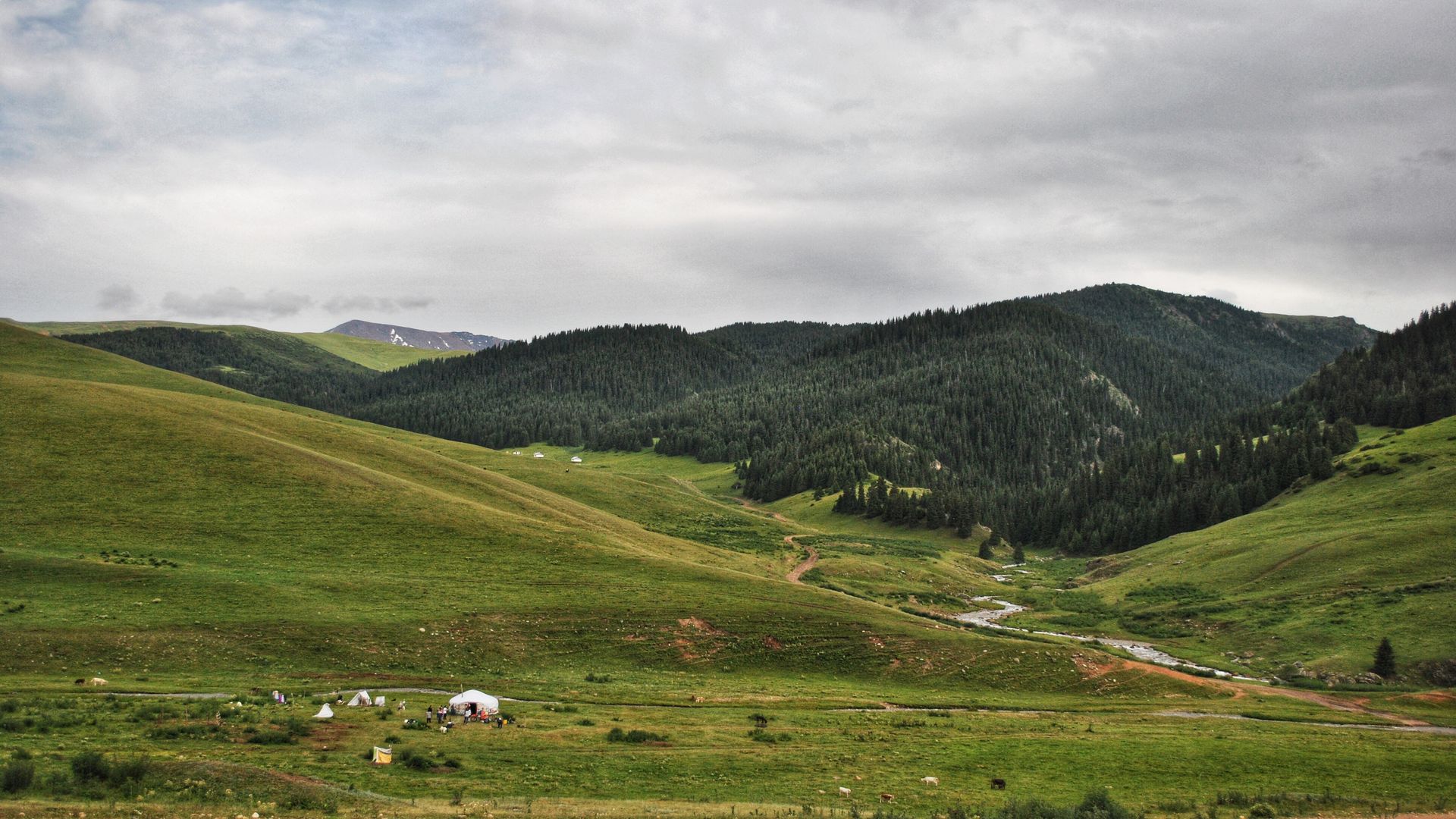
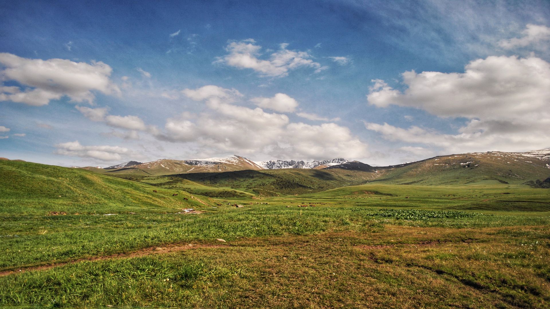
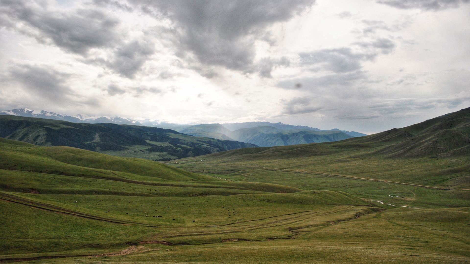
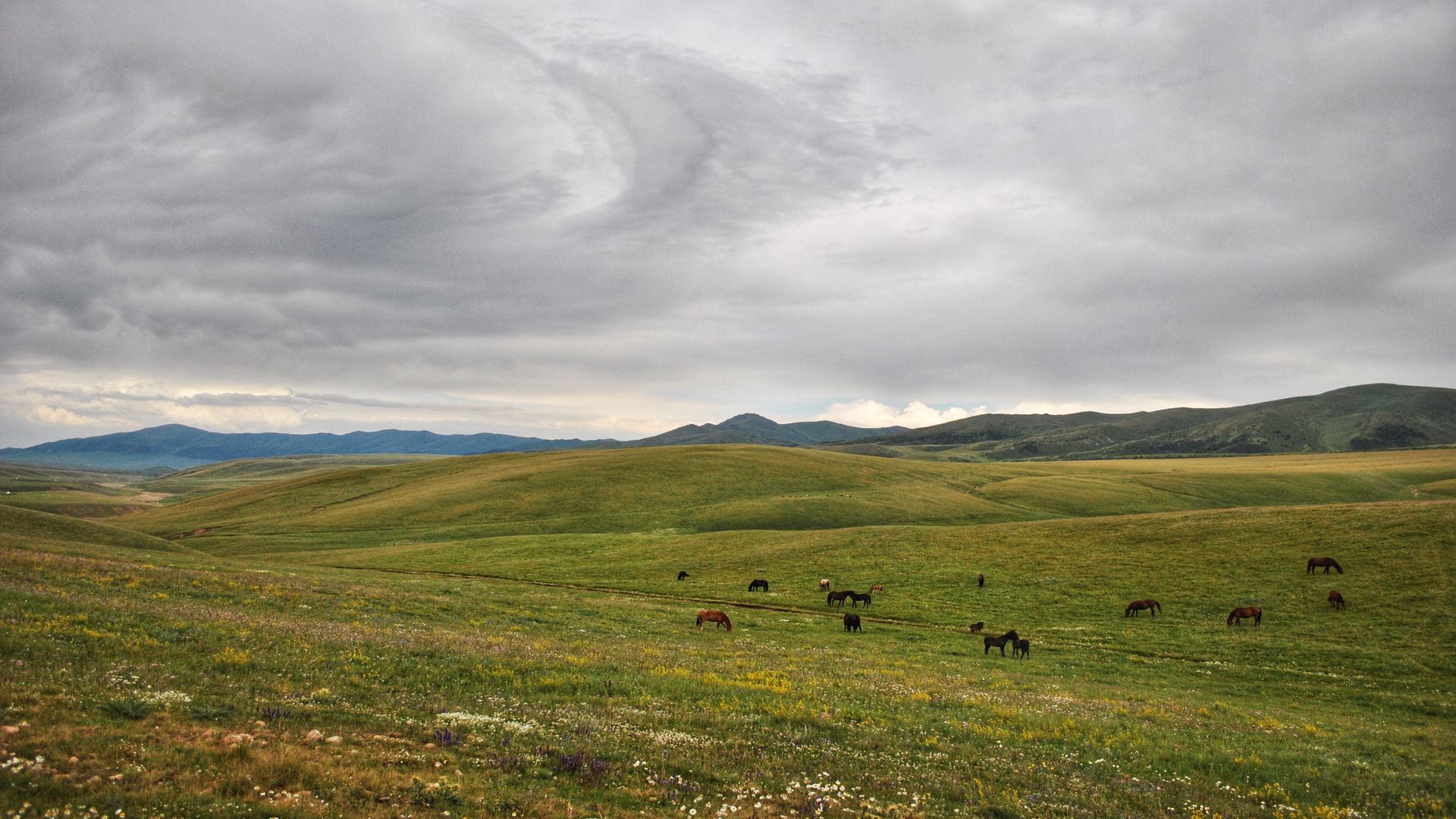
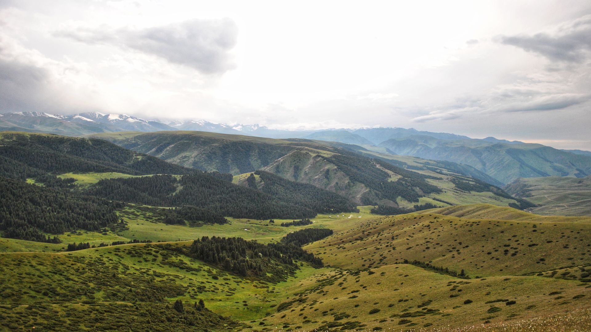
The high-mountain plateau of Assy is an incredibly beautiful place, it is a huge inter-mountain summer pasture (Zhailau). The length of the plateau is more than 40 km long and 15 km wide, with a relative altitude of 2700 m above sea level. Along the route, you will see various natural and climatic zones from Alpine meadows to semi-deserts.
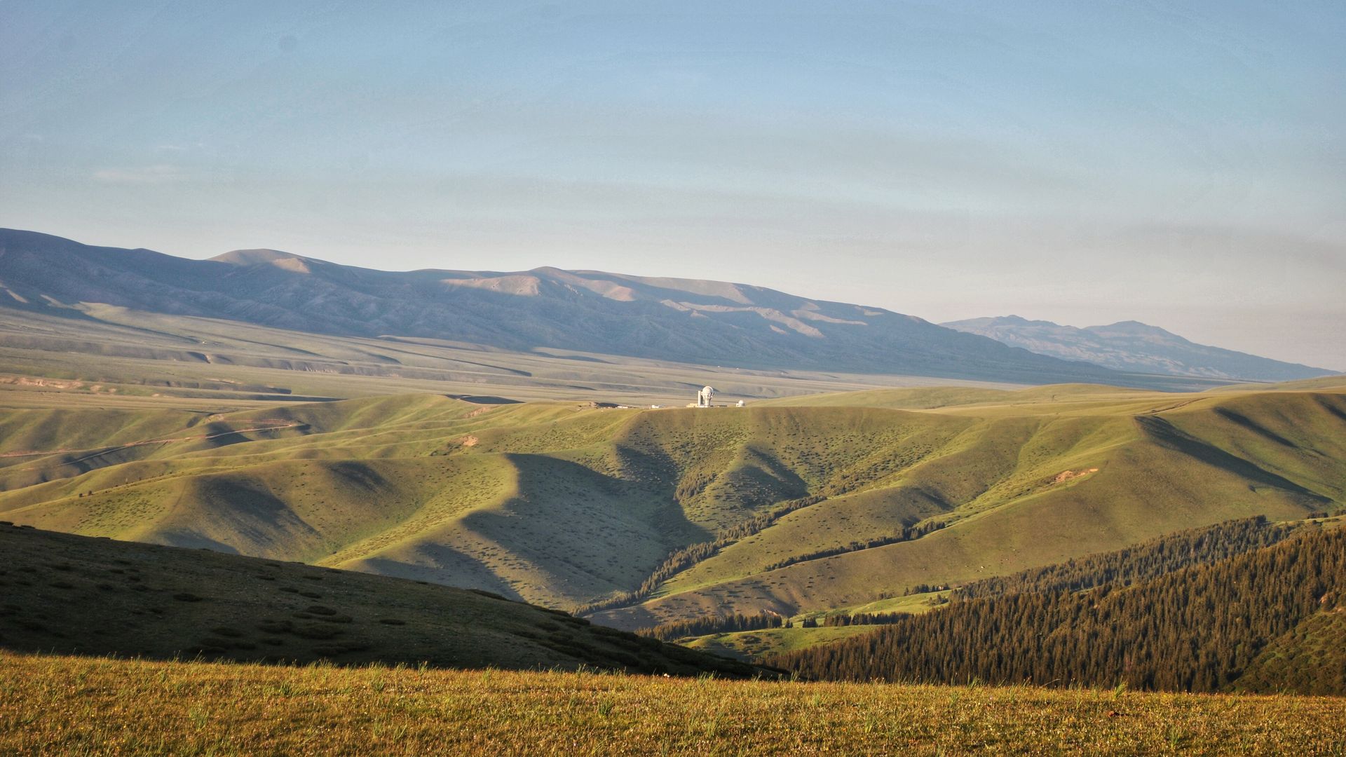
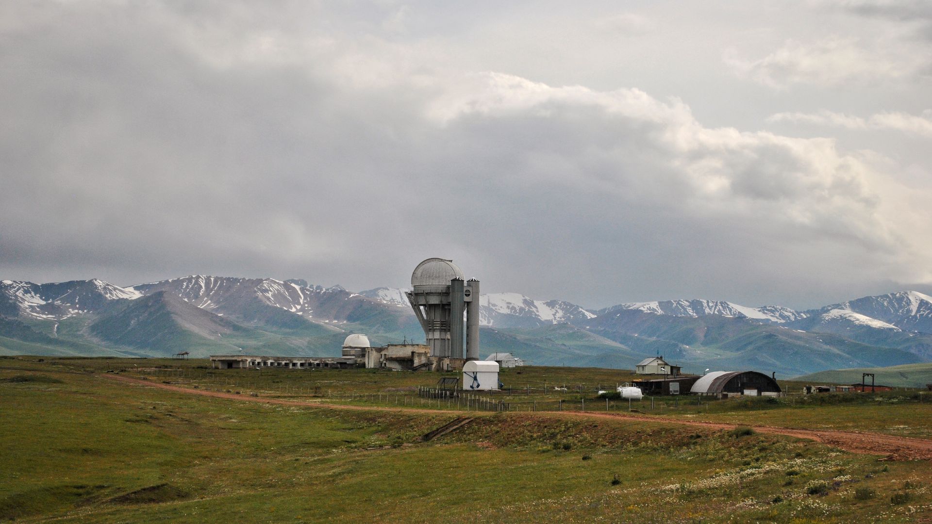
Here is the Assy-Turgen Observatory, the only Observatory in Kazakhstan with an ideal astronomical climate.
As well as the plateau is the most valuable historical monument of the Bronze Age, there are a huge number of burial mounds and petroglyphs.
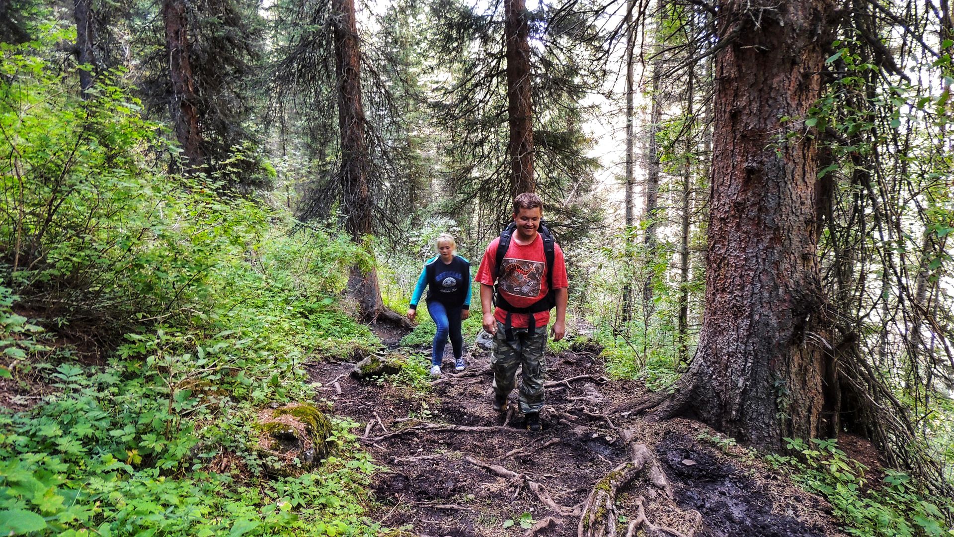
We will walk through the picturesque pass Kyzylaus -3200 km above the sea level.
Arrival in the village of Saty – check in at the guesthouse.
Day 2:
Kolsay lakes trail
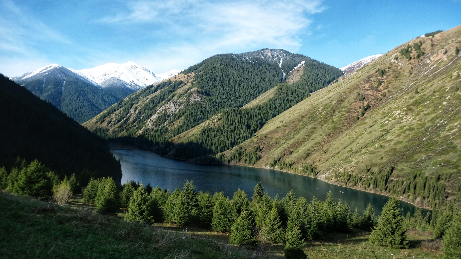
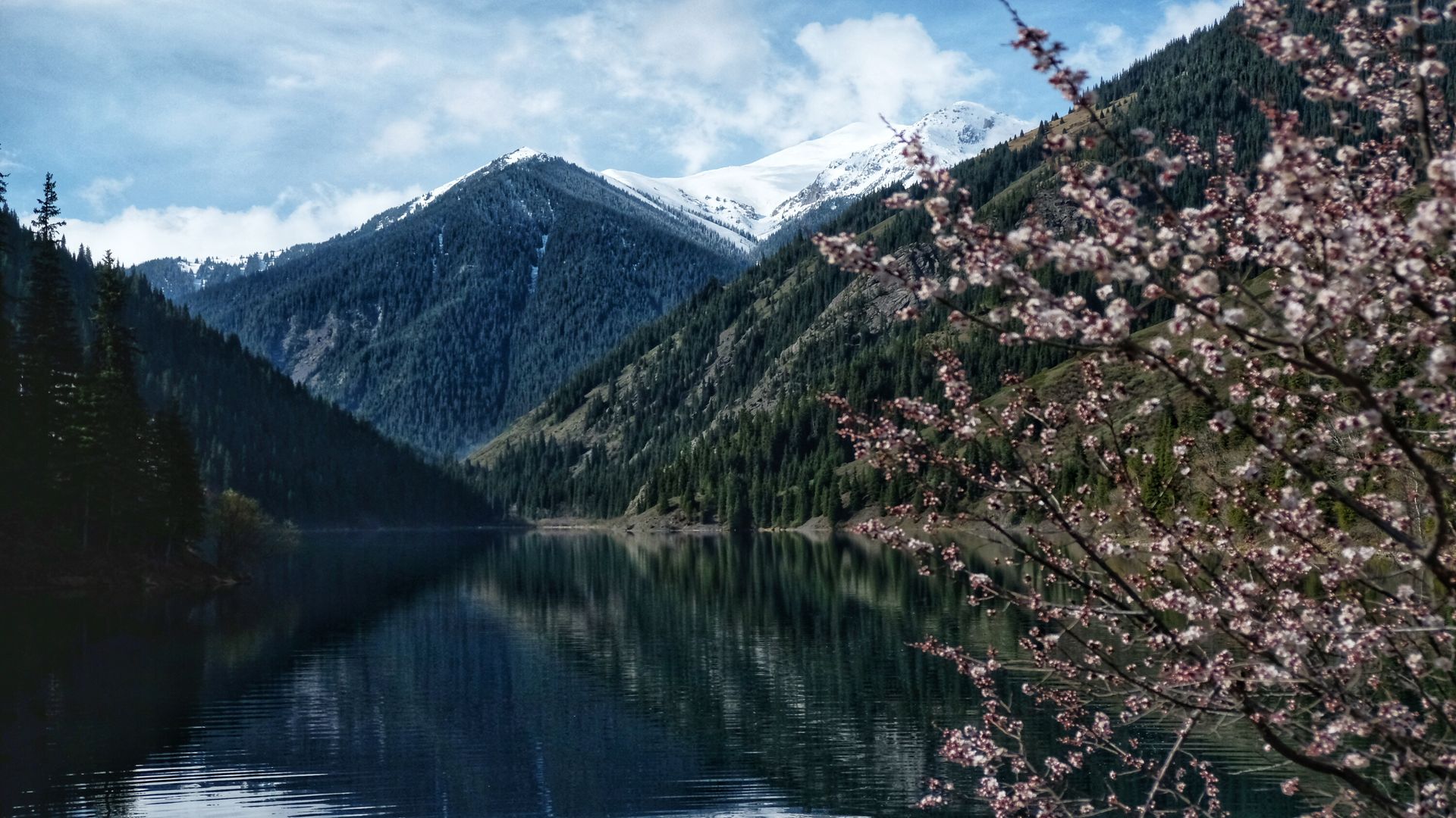
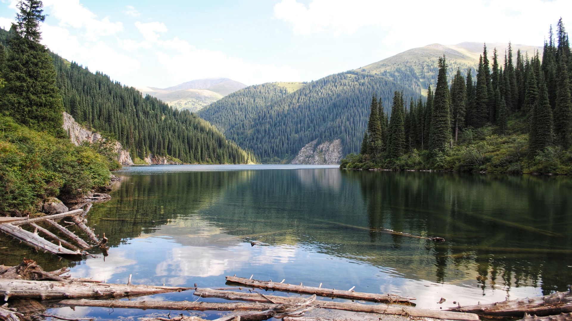
Kolsay lakes — a system of three lakes in the Northern Tien Shan, in the Kolsay canyon, in the bridge connecting the Kungei-Alatau and Zailiysky Alatau ranges.
The absolute height of the lakes above sea level is 1818 m, 2252 m and 2850 m.
In this tour, we will only visit the first one. The length of the lake is 1520 m, width 222 m, depth 366 m!
Kolsay is an incredible lake! The color of the water is amazing, changing depending on the weather, from bright turquoise, azure to green and gray-blue!
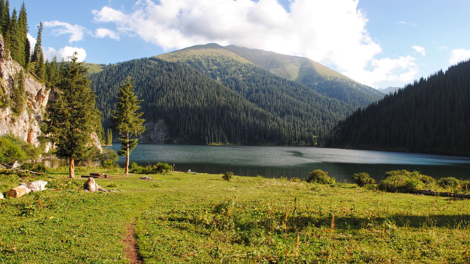
The lake is rich in diverse flora and fauna, there are king trout, ducks, eagles, you can meet hares and marmots.
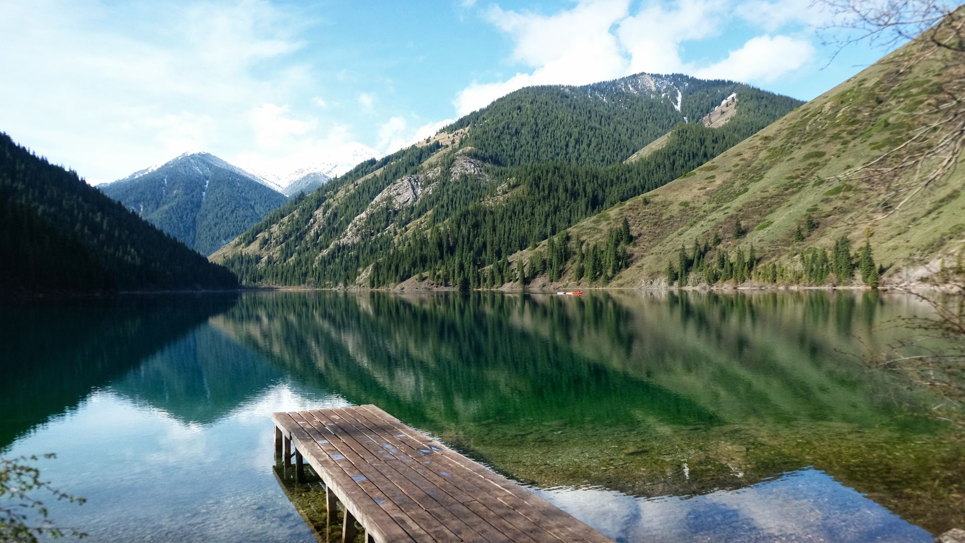
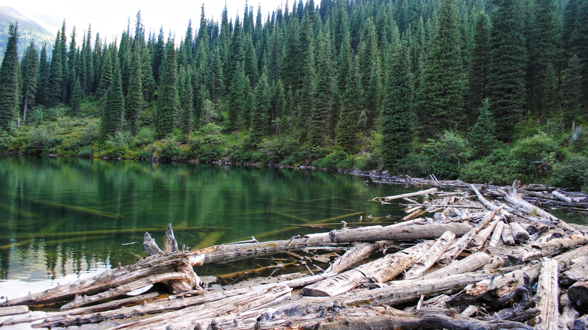
The path to the second Kolsay lake — Mynzhygli, is not less beautiful than the lake itself, 8 kilometers of mountain route with unique, pristine nature!
Lake Mynzhygli – the largest and most beautiful of the three lakes, has a length of 1235 meters, the greatest width of 564 meters, the greatest depth of the lake is about 50 meters.
The first thing you see when you go out to the lake is a natural dam of fallen fir trees. The view is impressive! The second lake is flowing, connected to the first lake by the Kolsay river.
We have lunch and return to Saty village
Day 3:
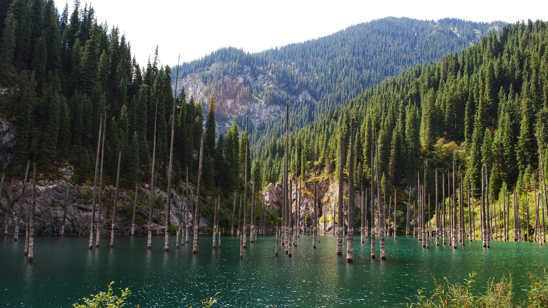
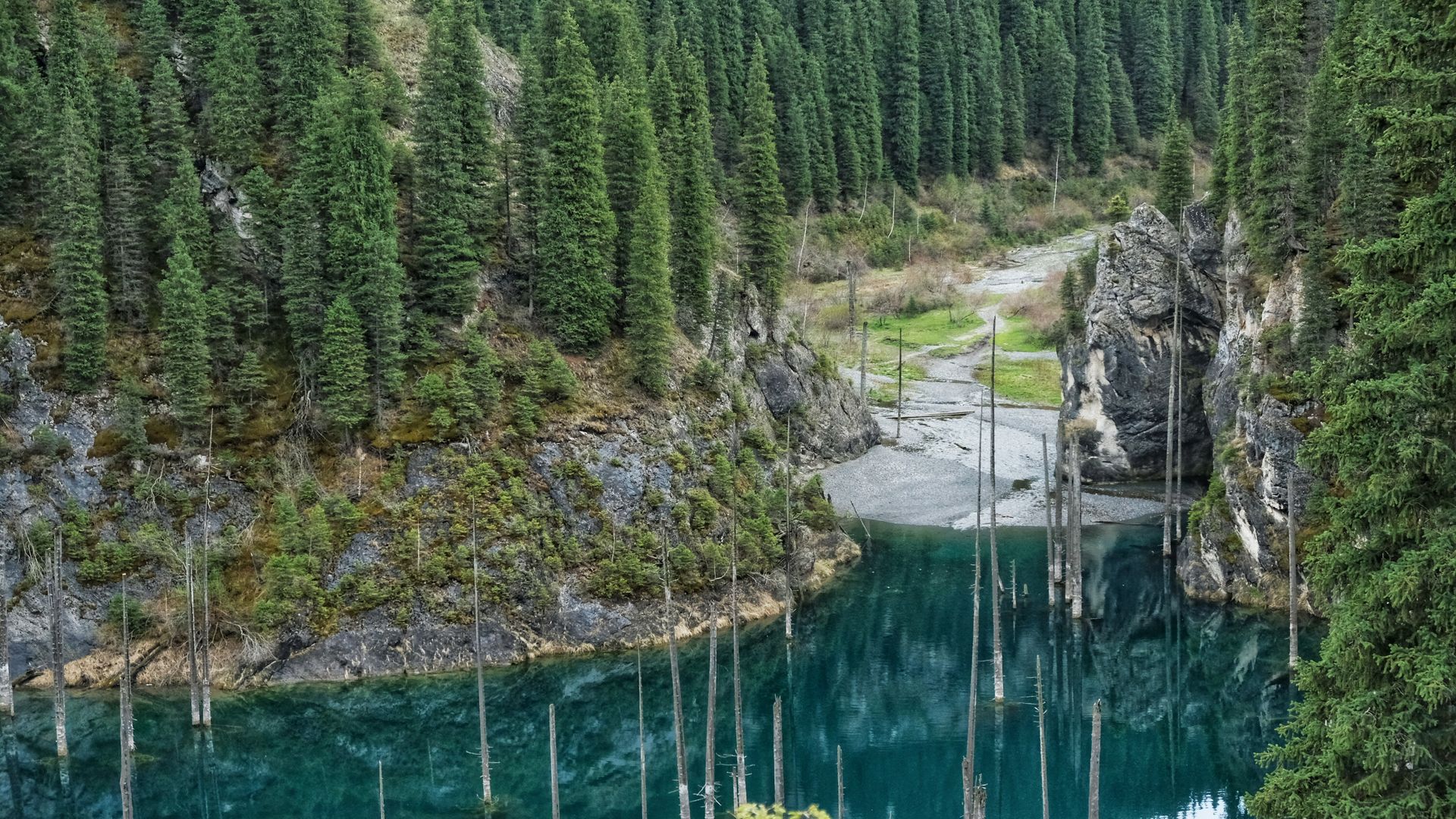
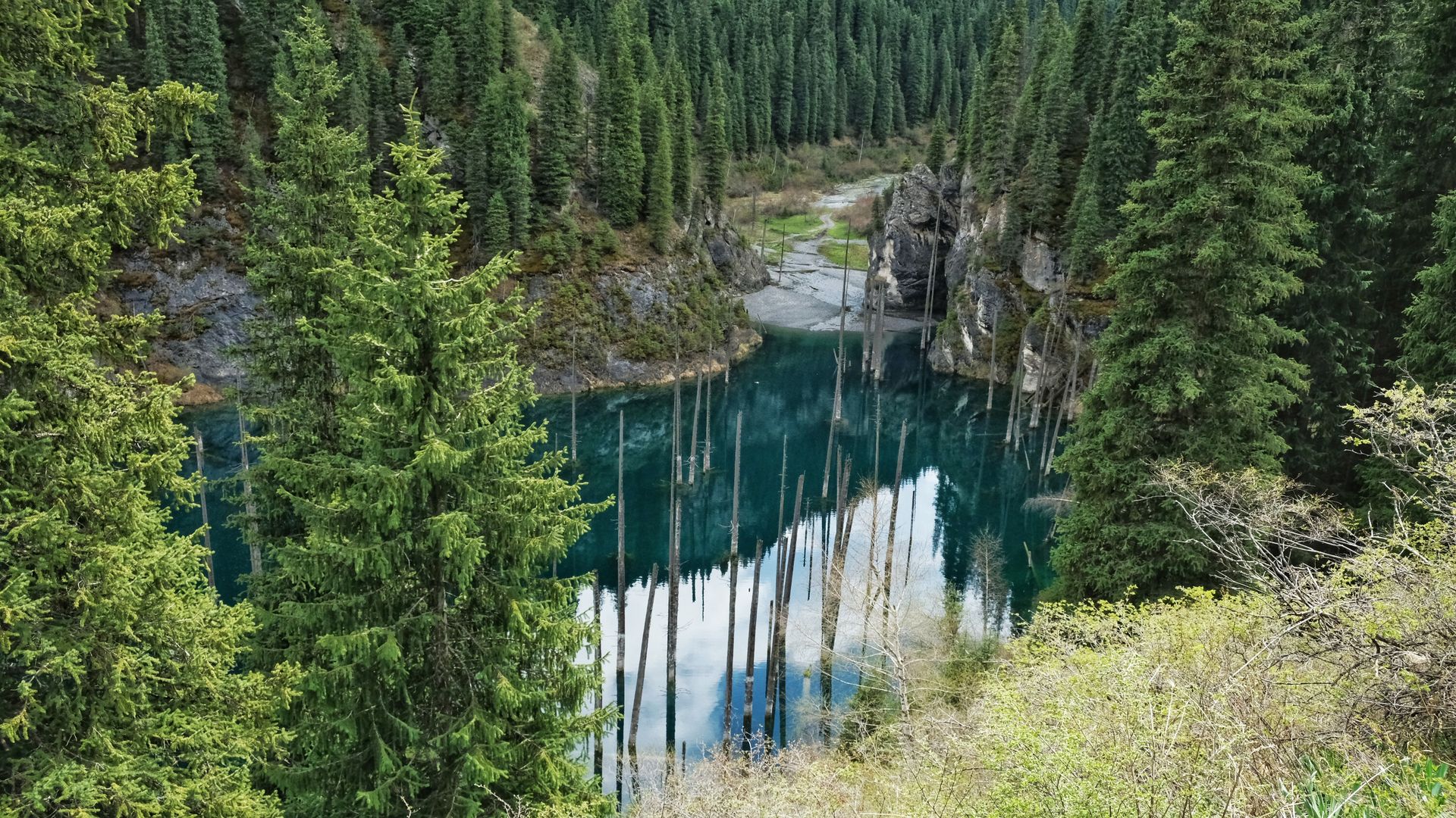
Kaindy Lake
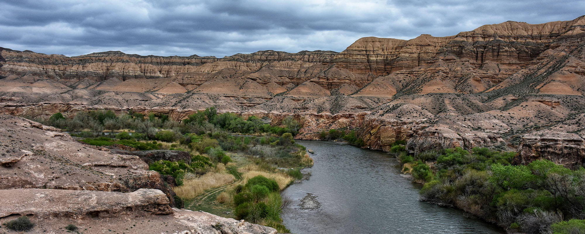
Kaindy lake is located on the Northern slope of the Kungei Ala-Too mountain canyon at an altitude of 1,867 meters above sea level in a dense coniferous forest. It’s 21 kilometers between Kolsay lake and Kaindy lake.
Kaindy means “abundant birch” or “birch” in Kazakh language. Although you will not find a single birch tree on the lake, you will find the birch five kilometers below the lake.
Kaindy lake is a natural wonder! It was formed as a result of the Kemin earthquake in 1911! The earthquake lasted about 5 minutes with an amplitude of 8 points! Can you imagine the power? Naturally, this led to changes in the landscape — deep cracks, ruptures and numerous landslides occurred. One of these landslides blocked the river – and the mountain valley got filled with water, flooding the coniferous forest growing there. In any other place, the trees would have rotted long ago, but in Kaindy such cold water (even in July, no higher than 6C) that the trees are literally preserved! In clear weather, they are clearly visible through the water.
Back to Saty village, dinner, departure
Hashtags / keywords to search for:
#garintrip_Кольсай #garintrip_Каинды #Kolsai #Kaindy
#garintrip_Assy #Assy #Assyplateau
Kolsay lake, Kaindy lake, Assy plateau